Snowy Owl Update…. then there were FIVE! 12/6/2017

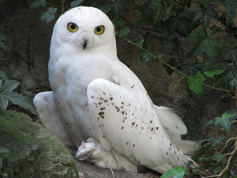
Dan Jackson has updated the Onalaska/La Crosse, Wis. area Snowy Owl sightings. Here is a beautiful image pulled from A-Z animals under a share license from Creative Commons.

Image result for snowy owl imagesDan’s Update:  On Monday morning, the refuge manager for the La Crosse District of the Upper Mississippi National Fish and Wildlife Refuge spotted an immature female Snowy Owl at the refuge Visitor Center on Brice Prairie (west of Onalaska off of County ZN.  By late afternoon, 2 more had been seen.

Yesterday, three birds were perched in the parking lot of the maintenance building at dawn.  When refuge employees picked up equipment for the day’s projects, the birds spooked and flew into the corn field just to the north.

At dusk, while a few of us were watching those 3 birds, we were surprised to see 2 other birds fly by making a total of 5.  At least 2 were immature females and 2 were lightly barred and were either immature males or adult females.

The birds got active between 4:30 and dark and moved up from their perches on the ground to perch on signs, posts, tractors, telephone poles, and other vantage points – making them easier to see.

Someone asked if they might migrate as family groups and could these birds be related?  Has anyone done genetic testing of groups of birds found at a single location before (Duluth Airport, etc.)?


Snowy Owl just west of Onalaska, near La Crosse, WI

A “heads up” from Dan Jackson…   THANKS, Dan!

Tim Miller, the District Manager for La Crosse District of the Upper Mississippi National Wildlife Refuge, found an immature female Snowy Owl at the District Visitor Center on Brice Prairie just west of Onalaska this morning. When he first saw it, it was near the staff parking lot. It then moved into the maintenance lot and was perched on a truck.

Hopefully, this bird will stick around as the prairie around the Visitor Center would be a wonderful hunting area.

Good Birding,

Dan Jackson
www.PBase.com/DEJackson

Tundra Swans Abundant in Pool 8, above Stoddard, Wi, and off Brownsville, Mn.

The wayside just south of Goose Island County Park, along Hwy 35  is offering excellent viewing of Tundra Swans and ducks once again. The Brownsville wayside on the Minnesota shore should be equally as busy. There are often DNR folks and other volunteers on hand over the weekend with spotting scopes. Bring your binoculars!!

For more on the history of Swans in Pool 8, enter Tundra Swans, and to answer the question of “why are they here now?” please CLICK HERE.

American Bald Eagles are also abundant, but the water is open as yet so they are fairly well distributed.

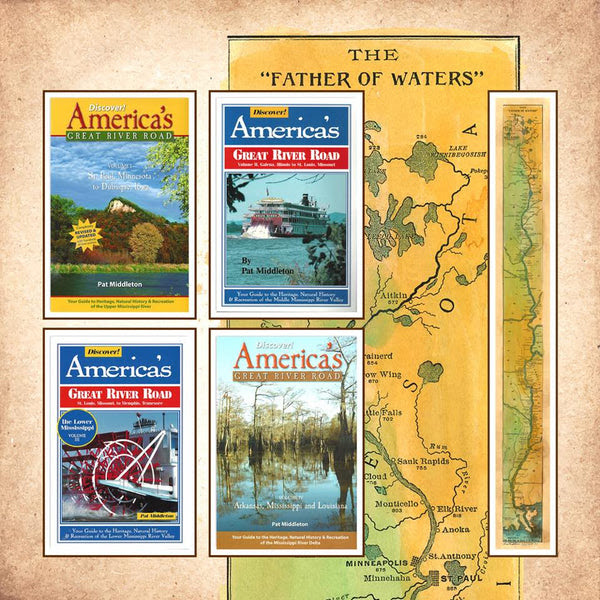
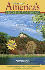
Special Pricing our most popular Book and Map RIVER BUNDLE… Great River Road/Mississippi River Guides and SAVE $30!

Perfect for Gift Giving! Need extra maps? Everyone who loves our 1887 map by Lisa Middleton will love Discover! America’s Great River Road, our comprehensive guide to life along the river for their favorite section!  Just CLICK HERE to purchase additional maps!

All Great River books can be ordered activity coverindividually as well. CLICK HERE to go Straight to BOOKS on our new Shopping Cart at Great River Arts.

Let us know if you have any questions!


First Tundra Swans Arrive in Pool 8!

cropped-wordpresstundra.jpg

Just ahead of our first major COLD spell of the season, a few dozen Tundra Swans are visible along Wisconsin Hwy 35, just south of Goose Island and La Crosse. There will also be naturalist/Interpreters on hand at the new wayside south of Goose Island. Bring your binocs and learn not only about the swans, but also an assortments of ducks! No doubt there are also Swans visible just south of Brownsville, MN.

Over the course of the next 4 weeks, numbers of Swans and migrating ducks will increase exponentially!! Have fun!!

Colors are popping… perhaps 2 weeks early!!


Fall Foliage Hot Lines from greatriver.com

While mid-October seems to be the month when Fall Foliage really POPS along the Upper Mississippi River, it may be a little EARLIER this year. You can follow its southward march with the contacts below. Weather is perfect, enjoy the drive!

Arkansas. 800-628-8725; www.1800natural.com (late October to early November)

Illinois.  800-226-6632; www.enjoyillinois.com (early October)

Kentucky. 800-225-8747;  (late October)

Minnesota. 800-657-3700; www.exploreminnesota.com (late September to mid-October)

Missouri. 800-778-1234; www.missouritourism.org (mid-to-late October)

Tennessee. 800-697-4200; www.state.tn.us/tourdev/ (early November)

Wisconsin. 800-432-8747; www.travelwisconsin.com (early through mid-October)


And don’t leave home without the indispensable guides to Mississippi River and Great River Road travel! Every volume of DISCOVER! America’s Great River Road is filled with a variety of fascinating Mississippi River fact and lore.  Photos, maps, charts!  All Volumes contain info on birding, wildlife viewing hotspots. Each highlights Geography, interpretive history and natural history attractions along the Great River Road.  

SAVE $10!!!   Purchase ALL FOUR VOLUMES of Discover! America’s Great River Road… St. Paul, Minnesota, to Venice, Louisiana, individually signed by the author.   Four guides for $62.

Great River Map Artist is in the news again!

Map Artist, Lisa Middleton, got her start on the Mississippi River, but she is truly nationally know for her custom designed artisan maps as well as her extensive body of hand painted historic maps. Her summer home is Montana, and the Northwestern market is keeping her busy. See ALL Lisa’s maps at www.greatriverarts.com

No automatic alt text available.

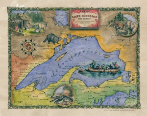
Exploring Lake Superior’s North Shore!

Enjoy exploring Lake Superior’s north shore through the eyes of our map artist and the early explorers! Thank you, Courtney for writing us! See maps at www.greatriverarts.com   Entire map title or region in a Search Box.

5 out of 5 stars
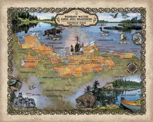
“I’m absolutely in love with these maps! My fiance and I purchased these to go along with pictures we took while visiting the boundary waters and these maps are the icing to the cake!”   Courtney

7A737DD6-4EB0-41D6-A52D-3772D8896675-324-0000002B5F586647

Boundary Waters, custom artisan design by Lisa Middleton

IMG_1587

Custom map by Lisa Middleton  A fun combination of past and present!

t!IMG_0923

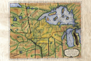
Carver’s historic map of his travels includes so many historic notes… and the Grand Portage is carefully noted by extra large dots!

C6291F21-62BE-40C8-9288-FB6A822FA35D-324-0000002B638C4759

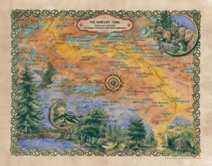
The Gunflint Trail includes lots of local landmarks which will have you remincing about when you went where and with who!

Lisa’s maps are available all along the Gunflint Trail and at many better gift shops along Hwy 61… or visit www.greatriverarts.com and search for Lake Superior maps!  Have fun!


Current Interactive Flood Map

Below is the USGS interactive map that provides REAL TIME info on which Rivers in the US are cresting. The map below is accurate every day. Black Triangles indicate flood stage. Looking to compare stats with the Flood of 1993? CLICK HERE.

us

See more interactive maps by clicking the category in the list to right: INTERACTIVE MAPS